Transforming agriculture and
landscaping with AI-powered solutions
Transforming agriculture
and landscaping
with
AI-powered solutions
Welcome to Wafra Greentech
We provide real-time advice for managing field crops and tree plantations more sustainably, improving irrigation efficiency and increasing farm profitability, using proprietary AI models to analyze satellite imagery and other data sources.
Solutions tailored to your requirements
We offer a range of service packages on a subscription basis for individual farmers, as well as customized data solutions for large private clients and government entities.
Water Use Optimization
Deploy precise irrigation based on watering requirements of crops and trees to improve irrigation efficiency by 15-25% and prevent salt accumulation.
Crop Monitoring and Scheduling
Optimize crop scheduling based on smart monitoring of plant health, biomass production and weather conditions to increase crop yields and reduce fertilization costs.
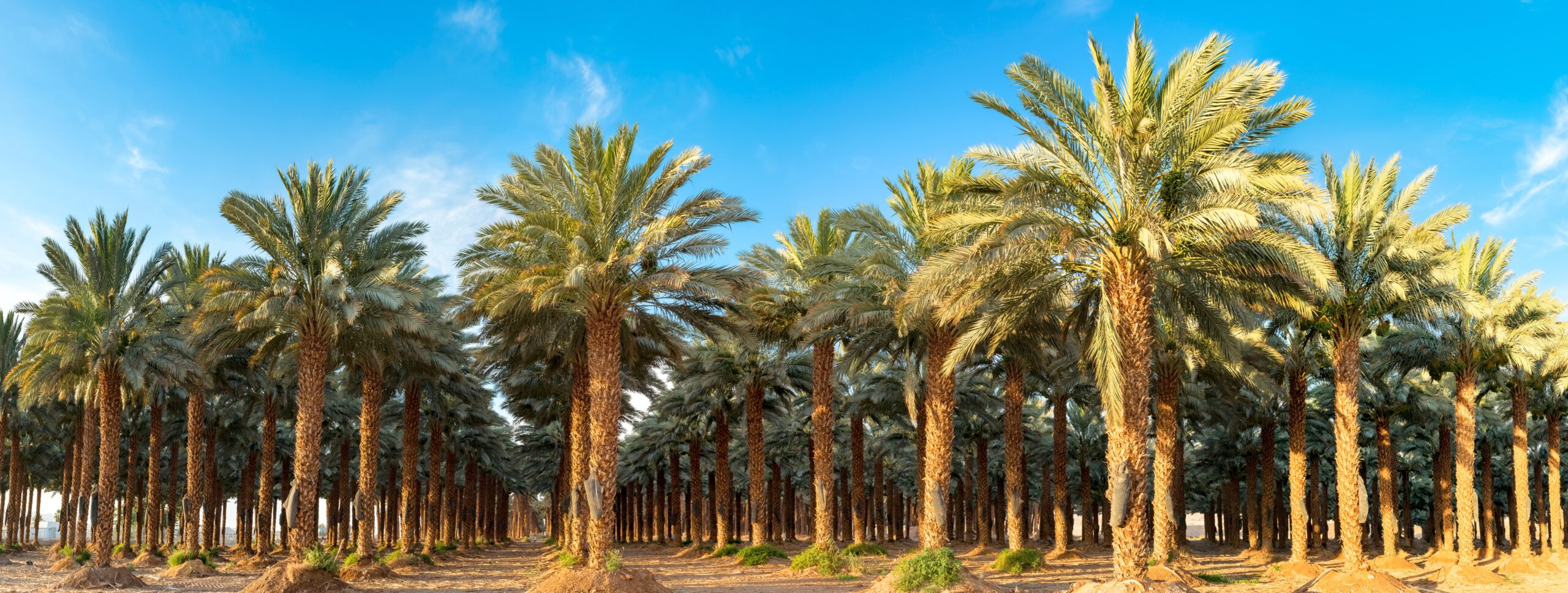
Fruit Tree Monitoring
Optimize yield of date palms, olive trees and other fruit trees by monitoring tree health, growth stages, water stress, soil condition, and other indicators.
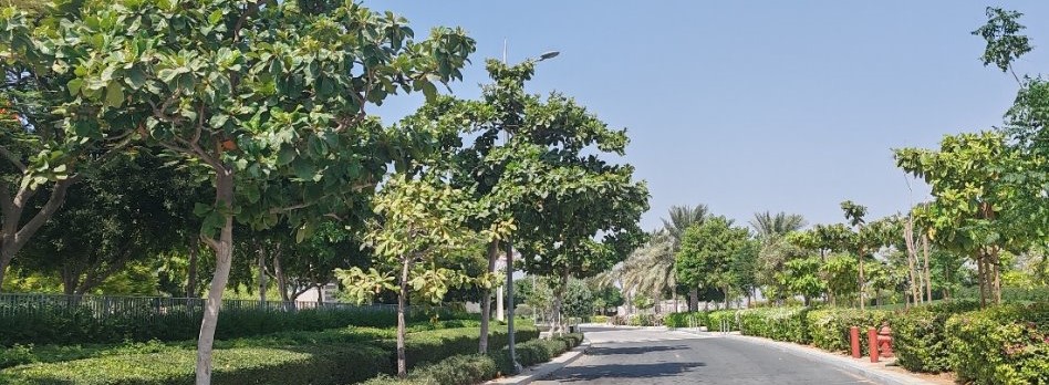
Landscape Management
Monitor changes in tree populations for landscape projects, and track health and growth indicators for individual trees to prioritize management interventions.
Pest and Disease Detection
Detect early warning signs of pest and disease problems with crops and trees, including Red Palm Weevil for date palms.
Government Services
Collect timely and accurate data on farm activities, agriculture production and water usage to measure policy outcomes and enforce regulations.
What are the benefits of our satellite intelligence tools?
- Satellite and weather data updated daily
- 100% geographic coverage
- No drones or ground sensors required
- High resolution maps
- AI models calibrated locally
- Easy-to-use mobile app with customized advice and automated alerts
- Data stored securely in local cloud
Our competitive advantage
to thoroughly test and refine our analytical models.
6+ million users worldwide
AI models calibrated to your local area
92%-95% accuracy without using drones
200+ crop varieties covered
100+ tree species covered
Average irrigation savings of 15%-25%
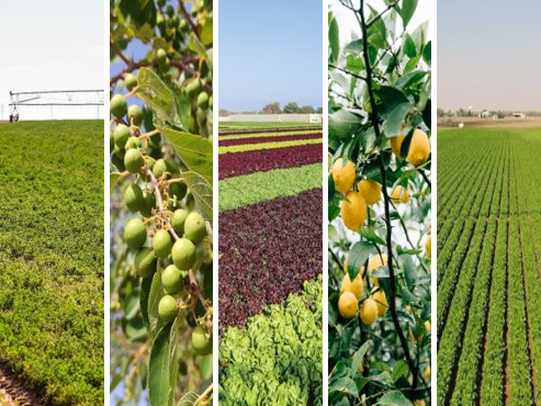
List of crops
Field Crops

Alfalfa

Wheat

Corn

Potato

Coffee
Fruit Trees

Date

Olive

Citrus

Mango

Fig

Who can benefit from
Wafra Greentech services?
We provide our services at the farm level, at the city level for municipalities, and at the national level for ministries and government agencies.
Farmers
Get farm data and crop management advice to quickly detect problems, optimize agriculture production, and reduce irrigation and fertilization costs.
Landscapers and Arborists
Monitor the health of your trees, shrubs and golf courses, apply the right amount of irrigation and fertilization, and optimize the deployment of your landscape resources.
Irrigation Engineers
Optimize irrigation scheduling for crops and trees based on smart monitoring of plant health, evapotranspiration index, biomass production, soil conditions, weather forecast and other indicators.
Municipalities and Project Developers
Keep accurate records of tree populations, and audit the performance of contractors responsible for planting and maintaining trees, shrubs and grassy areas.
Ministries and Public Agencies
Improve oversight of farms and greening initiatives to strengthen regulatory compliance, measure policy outcomes, and identify best/worst performing farms.
Sustainability Managers (ESG)
Develop audit grade reports to substantiate environmental claims, carbon sequestration targets, and sustainability commitments.